
I must admit, before yesterday, no matter how many times I looked at a map, I remained pretty confused about exactly which direction I was facing or where I was in relation to…well anything other than McMurdo. Not only is the position of McMurdo a bit confusing – it faces water, but that water is McMurdo Sound and not ocean to the North – we landed in the pitch black on an aircraft with basically no windows. Luckily for me, it all makes sense after getting to look at my new home from higher ground. For most folks on station, Sunday is the universal day off and we took this opportunity to hike up onto the icy plateau of the Hut Point Peninsula. That’s the peninsula of Ross Island, the tip of which is home to McMurdo and Scott bases (see map further down).

We set off right after brunch (another awesome Sunday occurrence in McMurdo), wearing our Sunday best (aka every layer we own). Plus extras, so called “ECW plus plus.” As we get acquainted with our own best layering systems, we always play it safe. It would stink to be hours from station and wishing you’d brought that fleece.

We made our way up to the trailhead (McMurdo is on a hill), and over the next hill to the plateau. This was arguably the hardest part of the hike and we definitely paused to ditch a layer or two before even leaving sight of station. It was fun to pass by Ivan the Terra Bus, which carried us from the airstrip just one long week ago.

Just when your fingers or face start to get a bit uncomfortably cold, and you’re really wishing there were some place out of the wind to readjust your system, a cute little red shelter (aptly called an Apple or a Tomato) comes into view. It’s tall enough that the average person can stand up in it, and provides a barrier from the wind with some basic emergency gear inside, but is unheated and wouldn’t be the most fun place spend a night if weather conditions rapidly turned. It’s always important to check the weather before leaving station!

Inside the warming hut we readjusted layers, drank water, and got chilly. Turns out you get cold again when you stop moving – more of a cooling hut actually.

After warming back up, we continued upward, finally making it onto the plateau, with Castle Rock jutting out in the distance. After spending all week in town, it was a welcome change to get to stand in the glacial expanse of the peninsula, with no manmade structures other than our trail flags in sight.

These flags play the important role of telling us where it is safe to walk. Glacial regions like this can have hidden crevasses, cracks which can be 10s or 100s of feet deep and covered with snow, invisible to the oblivious hiker. Thankfully, McMurdo has a Search & Rescue team, usually made up of experienced mountaineers, paramedics, and/or guides with SAR experience, that navigate and flag these routes for the community.
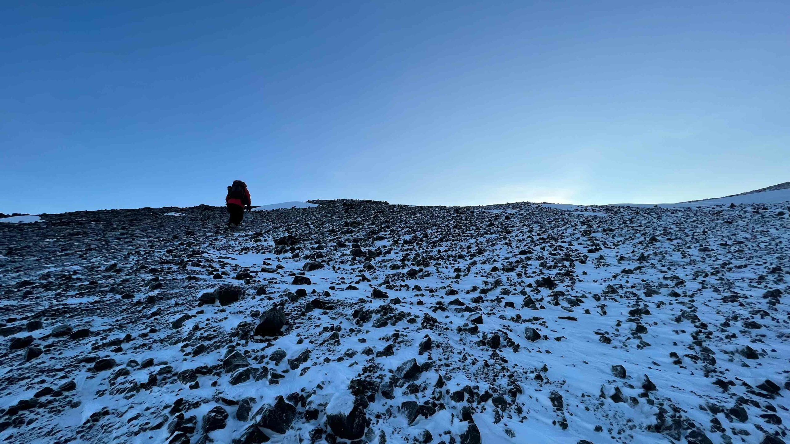
This particular turn-off led us up a rocky ridge (no crevasses to worry about here, phew), which led us to an absolutely stunning panoramic view of the peninsula and the volcanoes which make up most of the remaining island. It’s from here that I finally managed to grasp where I was.


Here I’m facing roughly NW, the Transantarctic Mountain range stretching northward into the distance, and the small dark Dellbridge Islands near the center of the image.
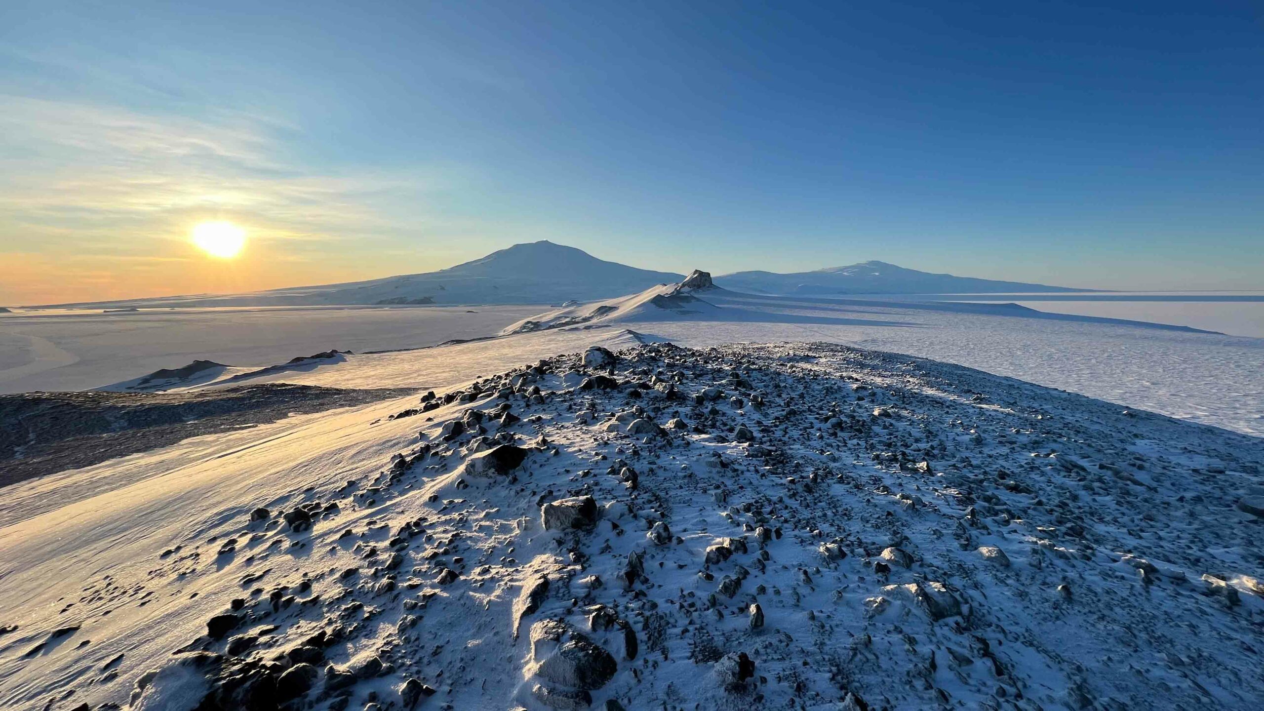
Above, looking roughly NE and straight down the peninsula, one can see castle rock and beyond that Mt. Erebus to the left and Mt. Terror to the right. These two shield volcanoes are names after the HMS Erebus and HMS Terror, the two vessels aboard which British Royal Navy officer James Clark Ross and his team discovered the Ross Sea, explored its uncharted Antarctic coastlines, and came across Ross Island in 1841. Mt. Erebus is the southernmost active volcano in the world, and some of the teams passing through McMurdo Station conduct research from field camps located on the volcano itself.
In front of Erebus and Terror, one can make out the edges of Ross Island and the slopes of the Hut Peninsula, descending into seasonal sea ice (relatively thin sea ice, <1 m – several m thick) on the left and permanent ice shelf (floating glacier, 100s m thick) on the right.

Here I am looking roughly to the SE, the Ross Ice shelf extending for hundreds of miles into the distance (it’s about the size of France). I can’t imagine what it must have been like for early explorers to make it even to Ross Island by way of the Southern Ocean, nor can I imagine standing here and looking to the South, knowing the nearly 1000 miles (1600 km) of travel by foot (carrying heavy sledges) that it would take to get there.
In this image, one can also make out the Willy Air Field where our C17 landed last week. I feel incredibly fortunate to be alive in an age where we get to make it here that way instead.

After an enlightening and windy detour, we headed further toward castle rock, sun illuminating its angular, snow-covered, glittering walls in the distance. Later in the hear one can actually ascend the rock itself, via a roped path, but that’s closed off for now.


Let me tell you. All this ECW gear keeps you relatively warm when you get your layering down just right, but it is not lightweight. Rowan and I did take a quick moment to collapse on the way back. And I did try to make a snow angel, but the ice packed snow did not oblige.

The ice snow was really pretty to look at though! So many glitter, much ripples.

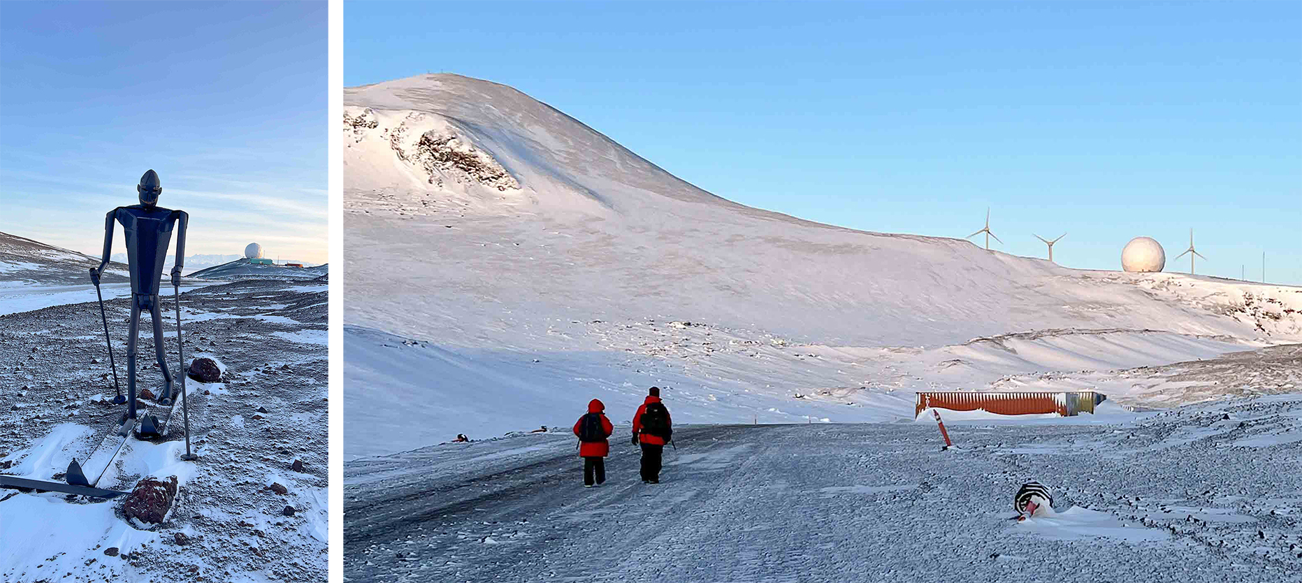
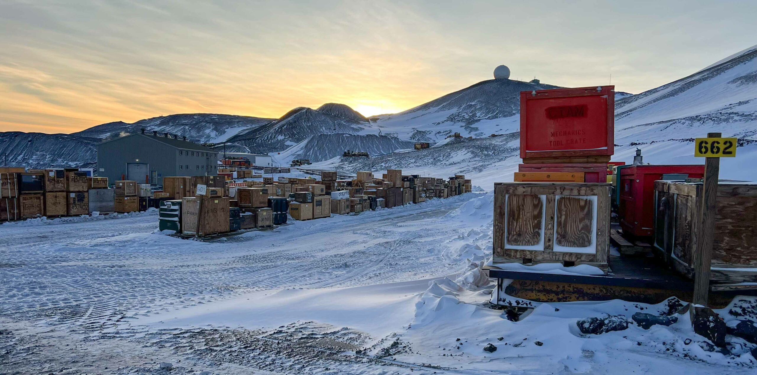
As we descended back into McMurdo I was ready for the warmth of the buildings, the quirky character of the town, and the comforting rows of storage containers filled with all the things one needs to be comfortable and do science in what could otherwise be a very unfriendly place.


After a half-day adventure and a big dinner to refuel, we got to end our evening with a beautiful nacreous cloud sunset, as seen from behind our dorm. The most obvious nacreous clouds in this image are those in the top right, but much of this sunset had the dancing rainbow colors that I’ve only ever seen here. It’s hard to believe it won’t be long before the sun comes up to stay.