
Turns out, any direction when living in Antarctica!
This morning we took a short training course on how to use handheld GPS (Global Positioning System) units. When wandering around on this harsh continent, the last thing you want to do is end up lost with no idea of how to get back to somewhere warm!
To start out today’s training, we learned about the three different flavors of North: True, Magnetic, and Grid.
Grid North is a navigational term (used by pilots and boat captains) referring to the direction northward along the grid lines of a map. It is associated with map projection, in which the rounded shape of the Earth is projected into a 2D flat representation. Because we are so close to the pole, the map projection can be especially skewed here, so grid north isn’t particularly useful.
Magnetic North is not a fixed point on the Earth’s globe. Instead magnetic north is the direction that a compass points to as it aligns with the Earth’s magnetic field which actually shifts and changes over time in response to changes in Earth’s magnetic core. Here in Antarctica, we are too close to the magnetic south pole, and compasses don’t work here. The Earth’s magnetic field is not arranged in straight lines all the way from the North to the South pole. As you get closer to the Magnetic South Pole, the field lines will dive inwards, perpendicular to the Earth’s surface. Instead of pointing horizontally, your compass needle is actually trying to point straight down towards your feet!
True North (aka geodetic north, of geographic north) is the direction that points directly towards the geographic North Pole. This is a fixed point on the Earth’s globe. For this reason, True North is the best option for navigating down here.
The GPS models we are using down here are the Garmin GPSMAP® 78.

So how does it work? Well, satellites pulse signals down from space which are then received by the GPS unit. Because the Earth is spinning, and there is a delay between when the satellite sends the signal and when the GPS unit receives the signal – there is a margin of error in regards to how accurate your GPS is, and where it thinks you are located. The more satellites that reach the GPS unit, the more accurate it is at pinpointing your exact location. There are fewer satellites covering this part of the globe, understandably, but usually, we can get ~10-20 to connect.
In addition, there is no Wide Area Augmentation System (WAAS) available here either. The WAAS is an air navigation aid that enhances the accuracy of GPS. It uses supercomputers to correct errors. In the absence of WAAS, the accuracy of GPSs here in Antarctica is 9ft – which is not bad!
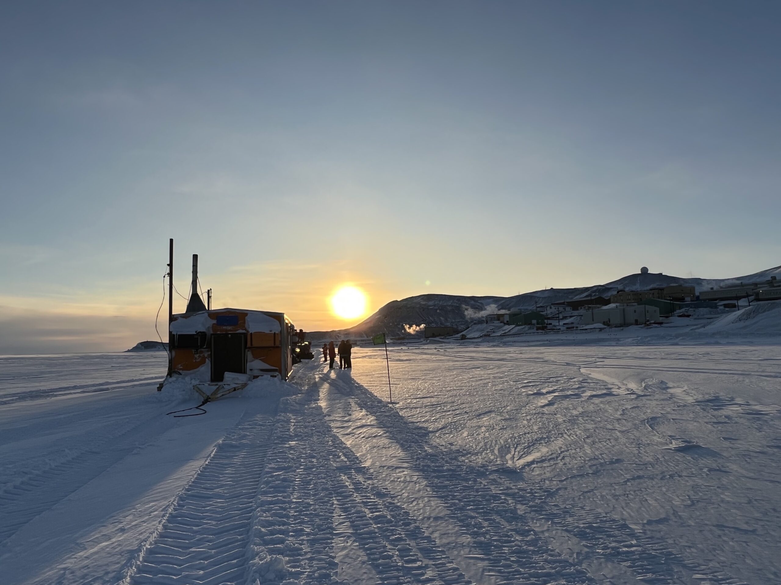
We use the GPS to mark where our dive sites are. At the moment, we only have one dive hole, located at the Jetty and very close to McMurdo Station. However, if we are able to reach some of the further away dive sites (sea ice thickness dependent), we will definitely rely more on the GPS, especially when the weather is bad and visibility is low!
Q: What is it called when someone smashes a compass? Breaking NEWS 😂